The Vendor
- Vendor: ArnoldAuctions
- Address:
- No ratings found yet!
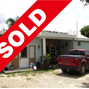
$655,000.00
1 in stock
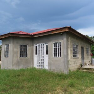
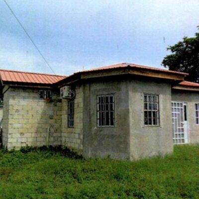
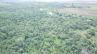
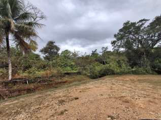
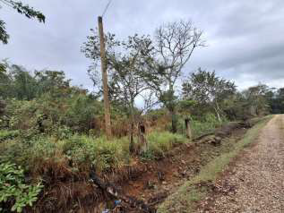
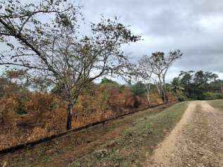
Property Details: ALL THAT piece or parcel of land being Parcel No. 3642, Block 4, situated in the Orange Walk Town Registration Section, Orange Walk District containing 464.454 S.M. and held under a Land Certificate TOGETHER with all buildings and erections standing and being thereon, the freehold property of Rodrigo Rodriguez surety for Carolice Cordelia R. Rodriguez and Rodrigo Rodriguez.
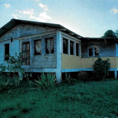
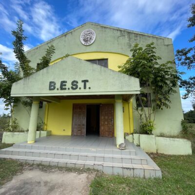
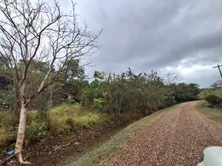
Description: Contains 1 concrete bungalow structure with 3 bedrooms, 2 bathrooms, kitchen, living and dining room areas. The northern highway is located at a walking distance from the parcel of land making it very accessible.
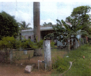
BUILDING #1
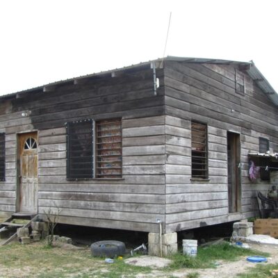
BUILDING #2