The Vendor
- Vendor: ArnoldAuctions
- Address:
- No ratings found yet!


$655,000.00
1 in stock
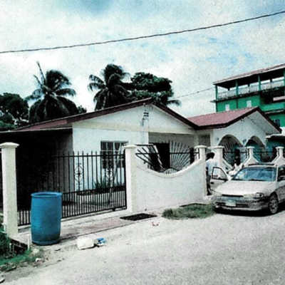
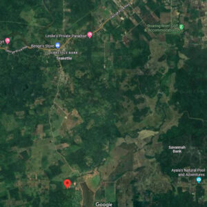
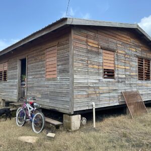
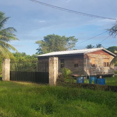
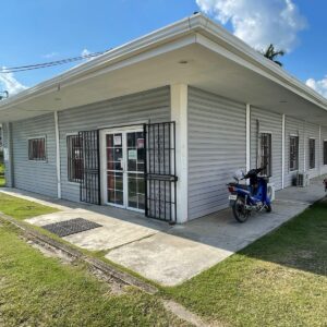
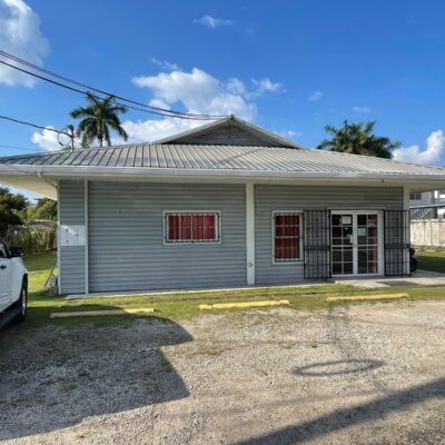
Location: Block 4, Parcel 1123, Orange Walk Town.
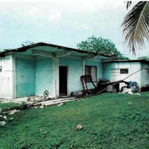
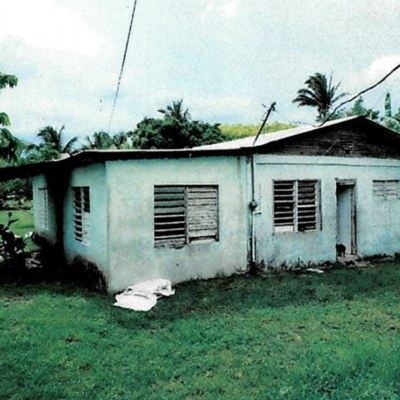
Description: On the property is a single storey building having 3 bedrooms, 2 bathrooms, living, kitchen, covered garage area, building has a floor area of 1213 sq.ft and shed 300 sq.ft. Land measures 446.67 sq.yds. Being the freehold interest.